Behind the map
How this was built.
In one day, from public data.
CreekChecker started on the morning of October 10, 2026 with a three-page memo and a scanned map. By evening it was a live property checker running on the City's and County's own GIS services. This is what went into it, so you can judge it for yourself and borrow the approach for your own town.
The problem
A line on a map that nobody could read.
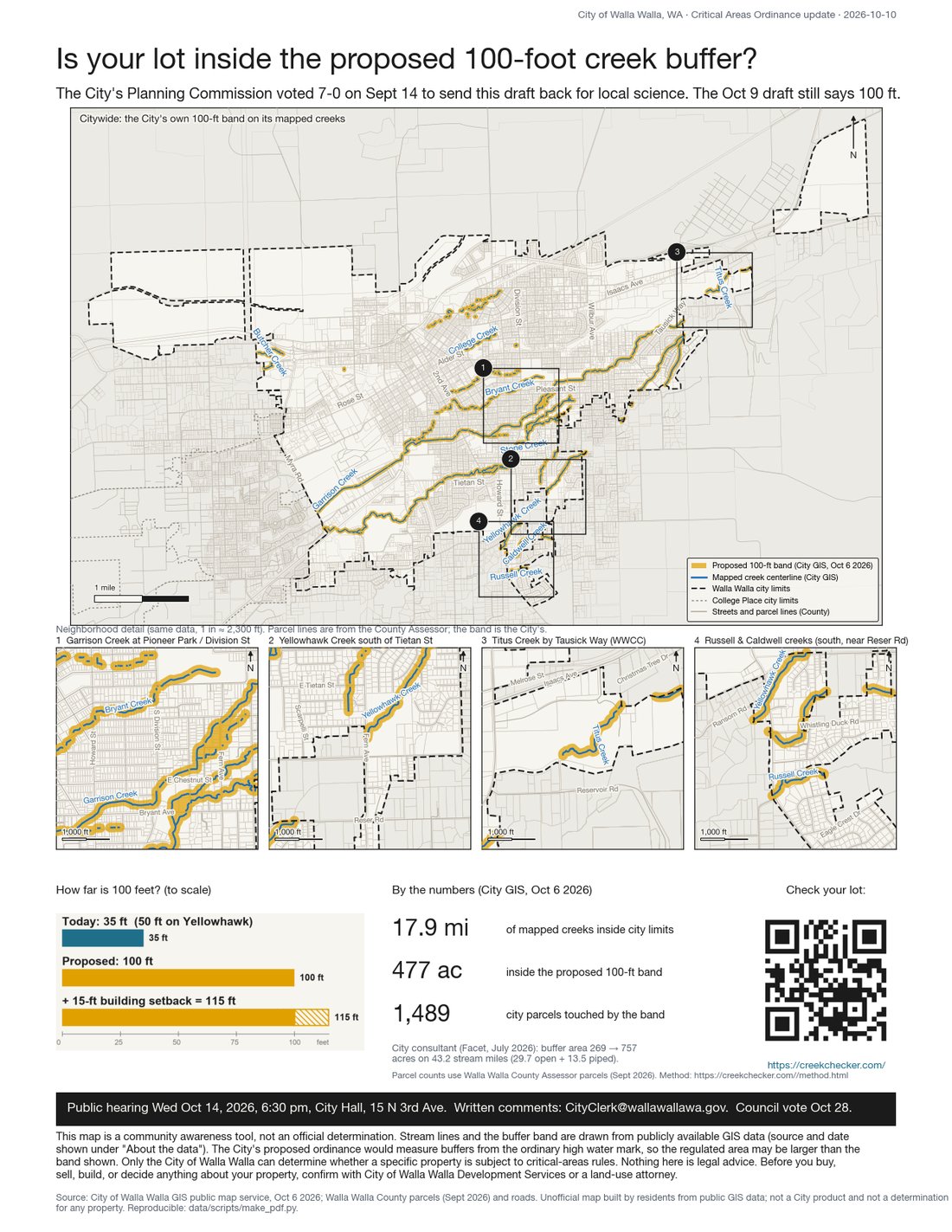
The City of Walla Walla's draft Critical Areas Ordinance proposes a 100-foot buffer on every mapped creek, up from 35 feet today (50 on Yellowhawk), plus a new 15-foot building setback. The City published the band as a static map. Residents could see the amber stripe across town but not whether it crossed their own lot, or what it would mean if it did. On September 14 the City's Planning Commission voted 7-0 to send the draft back for science matching local conditions; the draft posted October 9 was unchanged. The hearing is October 14; the vote is October 28.
Read the record, not the rumor
Everything on this site traces to a numbered facts ledger built from primary documents: the City's 48-page draft amendments table, the City's web page, the Planning Commission minutes, the City consultant's July memo, Fish & Wildlife's comment letter, the municipal code, and state statute. Claims that could not be sourced were dropped, including several in the memo that started the project.
Use the governments' own data, live
The City published its stream centerlines and its 100-foot buffer polygon as a public map service on October 6. The County publishes parcels, city limits, the growth area, and its own working buffer layer. CreekChecker reads those services directly in your browser and re-hosts nothing, so what you see is what the City drew, measured with the same geometry it used.
Check the map against the ordinance
The City's layer contains every creek named in the draft's Table 6 except Reser Creek, which lies outside city limits, and excludes Mill Creek, which the draft leaves to the Shoreline Master Program. The method page lists every reach the County or the State maps that the City does not, so "the map is missing my creek" has a specific answer.
Say what it would actually limit
Each result explains, in plain words, what the draft says and what existing city code says: new structures inside the band, additions toward the creek, subdividing, the six-month rule after a fire, and the cost of a critical-areas report. Each line is tagged with its basis. Where the draft is silent, the page says so.
Design for trust
Cream paper, dark ink, creek blue, amber for the band. Type you can read in a truck cab. A first visit that starts on Washington State and hones in on your county, your jurisdiction, your ZIP and your lot, so you can watch it find you. Every number carries its source, and the disclaimer is the first thing you see.
Make it move, then make it honest
Tested at phone and desktop widths, in light and dark, with reduced motion respected. Fact-checked twice before launch. A one-page flyer with a QR code, social graphics, and nine impact charts came out of the same data, so the story is consistent whether you meet it on a phone, a lamppost, or at the hearing.
Before and after
Morning prototype to evening release.
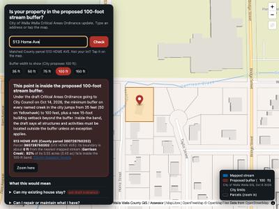
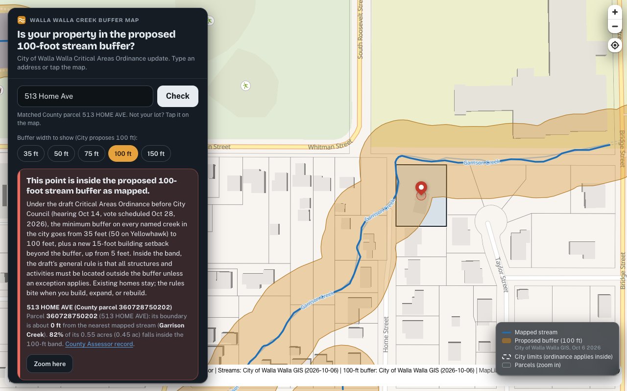
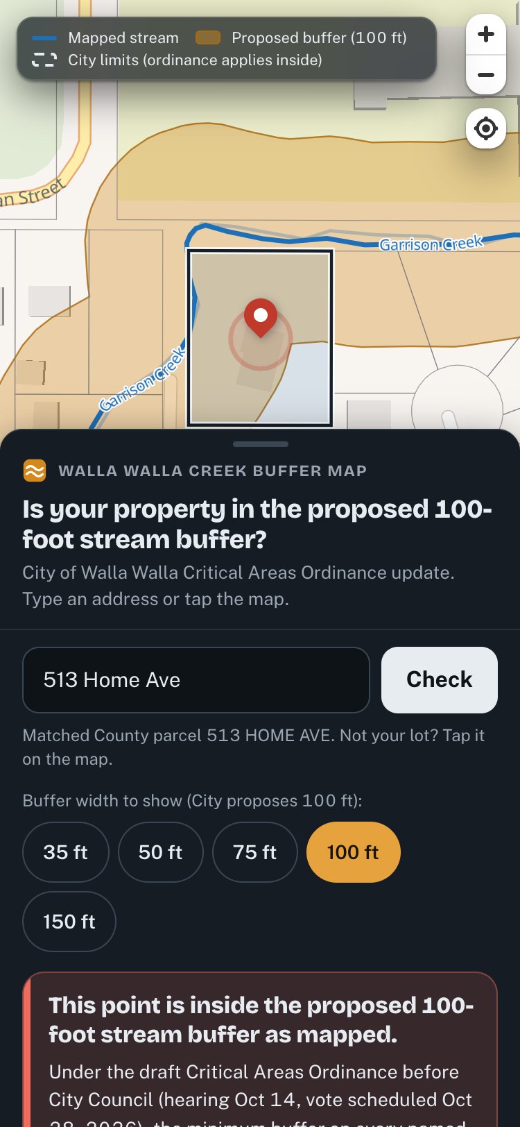
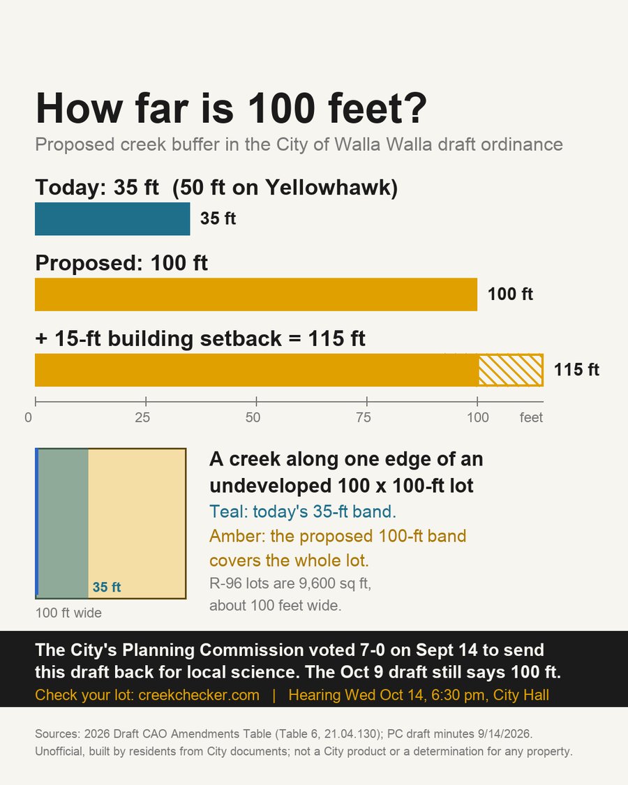
What it took
One day. Public data. No budget.
A static site, two free map libraries, the City's and County's public services, and a facts ledger with more than ninety sourced entries. No ads were run. Nothing was collected from visitors. The code is public at github.com/corbenk/walla-walla-creek-buffer-map.
For your town
Every city in Washington is updating this ordinance.
The same approach works anywhere a city publishes its map: read the record, use the government's own data, say plainly what it means, and give people a way to speak. If you want help doing that where you live, start with the people who built this one.
Made with ♥ by shrubn.com